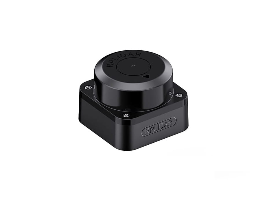

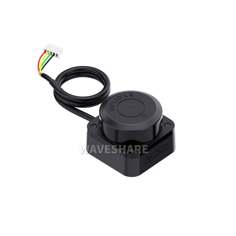
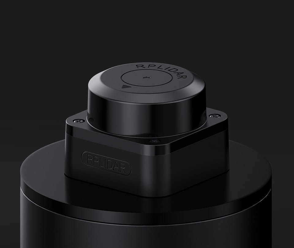
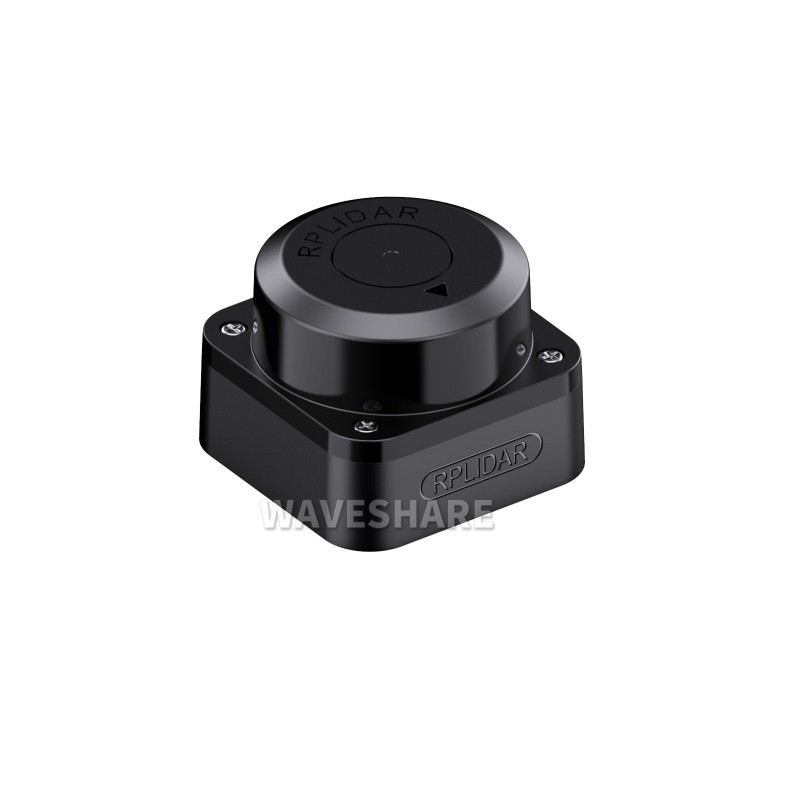
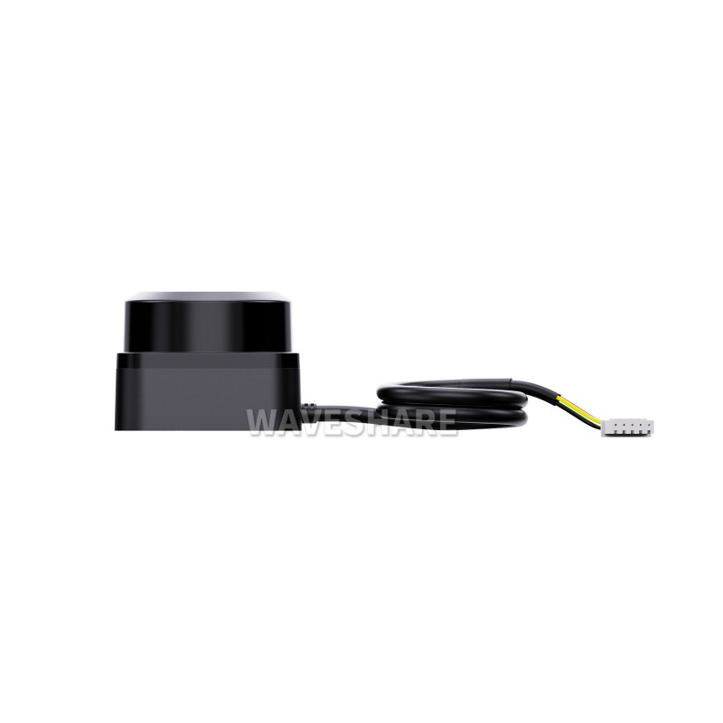
RPLIDAR C1 Laser Triangulation Radar 12m Range
Regular price:
 ・Kup teraz i zapłać za 30 dni
product unavailable

RPLIDAR C1 Laser Triangulation Radar, 12m Range
RPLIDAR C1 is an advanced laser scanner that represents a breakthrough in distance measurement and environmental scanning technology. Thanks to its compact size and impressive measurement range from 0.05m to 12m, the RPLIDAR C1 is an ideal solution for a wide range of applications, from automatic vacuum cleaners to advanced navigation systems in commercial and educational robots.
Its ability to work with various obstacles and in different environments makes it extremely versatile and invaluable in projects related to smart homes, IoT, and space exploration and mapping. Utilizing integrated next-generation distance measurement technology, the RPLIDAR C1 offers not only accuracy and precision in measurements, but also user safety due to its Class 1 laser. The rapid rotation of the laser core, powered by advanced mechanical components, enables 360° scanning with a angular resolution of 0.72° and a frequency of up to 10 Hz, resulting in detailed and dynamic spatial mapping.
The RPLIDAR C1 combines the latest technological advancements with practical utility, offering unparalleled scanning and measurement capabilities for a wide range of applications. Its advanced features, safety, and versatility make it an indispensable device for any project related to robotics, automation, and smart homes.
Specification:
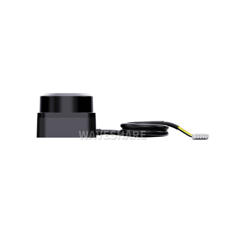
- Communication: UART @ 460800bps
- Measurement Range: 0.05 ~ 12.00 m for white target, 0.05 ~ 6.00 m for black target
- Measurement Frequency: 5000 Hz
- Scanning Frequency: 8~12 Hz (typically 10 Hz)
- Angular Resolution: 0.72°
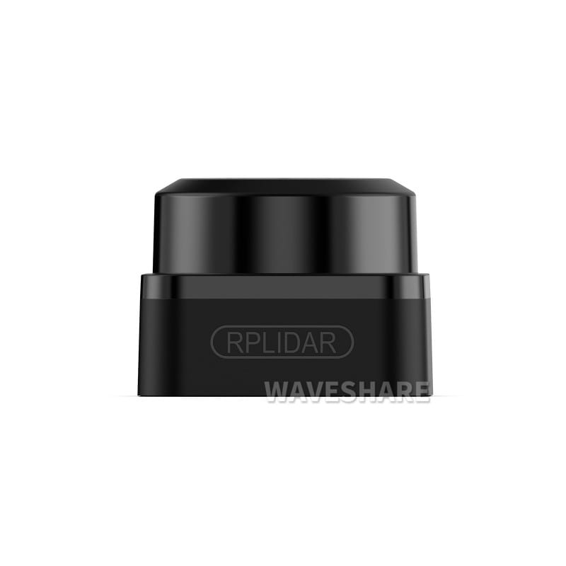
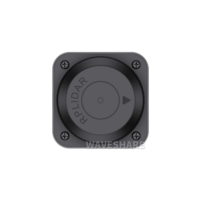
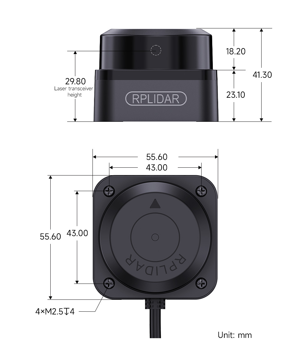
- Dimensions: 55.6 mm x 55.6 mm x 41.3 mm
- Power Supply: 5 V, operating current 230 mA, power consumption 1.15 W
- Operating Temperature: -10 ℃ ~ 40 ℃
- Range Accuracy: ± 30 mm
- Scanning Range: 360°
Product Features:
- Education and Research: Ideal for educational applications, including ROS robots, enabling students to learn and experiment with advanced technologies.
- Obstacle Avoidance by Robot: Enables robots to dynamically avoid obstacles, improving their autonomy and efficiency.
- Measurement and Detection: Precise distance measurements and object detection in various application scenarios.
- Intelligent Gesture Control: 2D gesture recognition enables interaction with users and device control through gestures.
- Autonomous Navigation: Advanced scanning and mapping features support autonomous navigation of robots and vehicles.
- Map Reconstruction: Creating detailed spatial maps, supporting route planning and exploration.

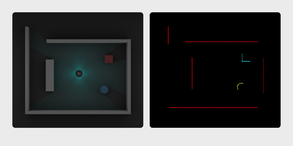
Next-Generation Fusion LiDAR provides high resolution and performance:
Not Limited to Flat Surfaces:
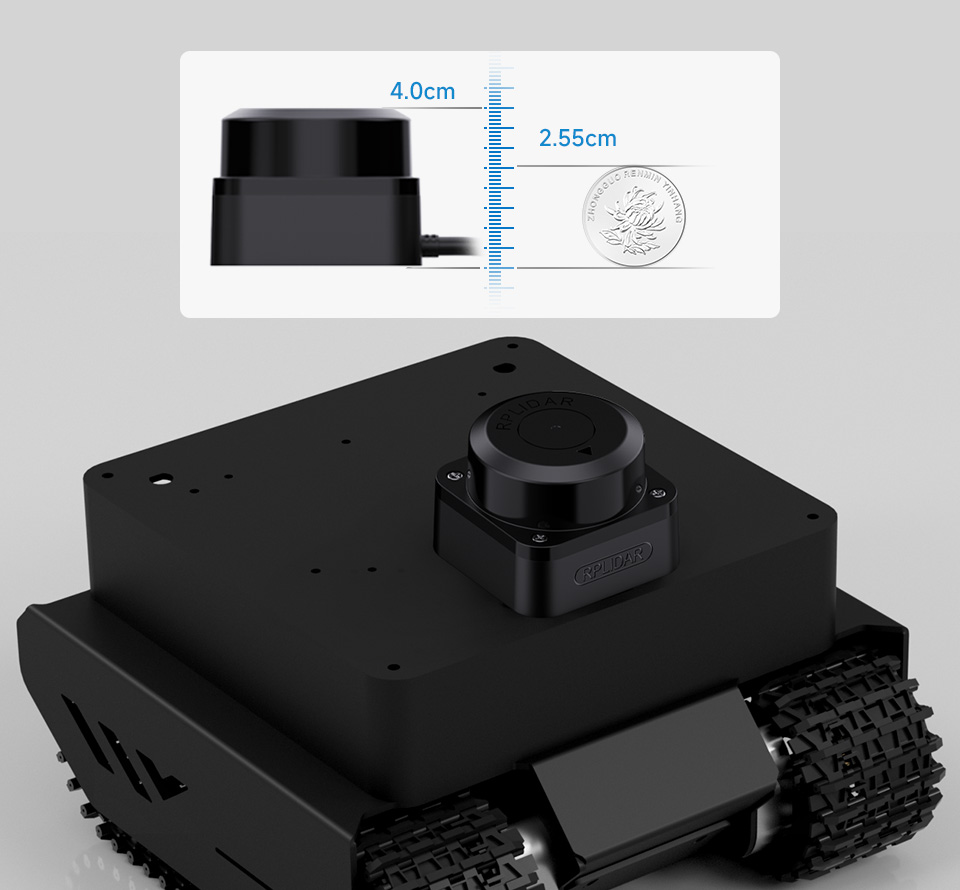
12m Range:

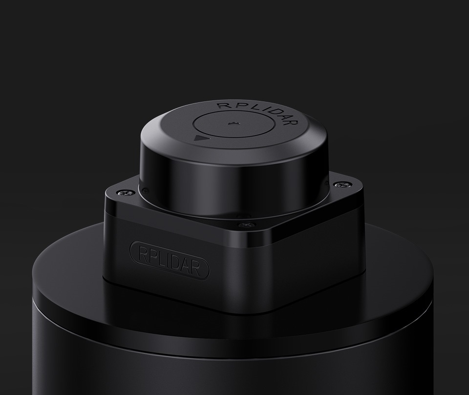
Compact Size:
Use Case Examples:
Dimensions:
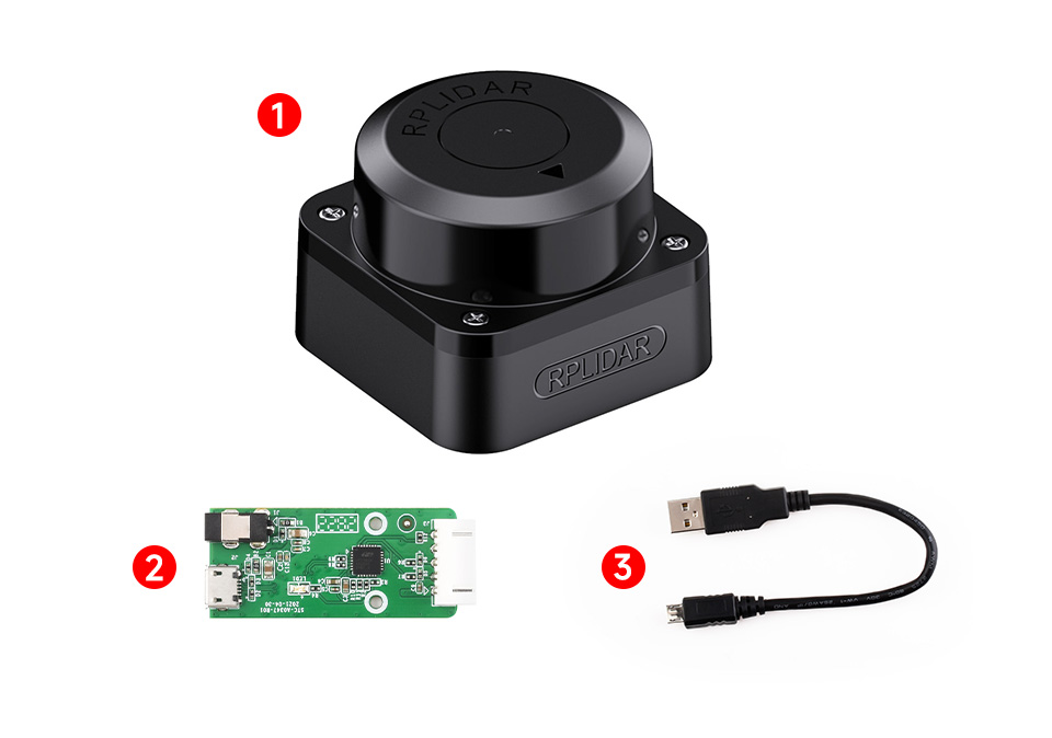
Package Includes:
- RPLIDAR C1 ×1
- Adapter ×1
- USB Cable ×1
Wiki: RPLIDAR_C1

Visit our blog for more interesting solutions and articles. Also, feel free to like our Facebook page to stay up to date with electronics.